History
The commune of Rouilly lies within the Provinois, the agricultural and extractive plateau of eastern Seine-et-Marne, approximately three kilometres south-southwest of Provins. The underlying stratigraphy is dominated by Sparnacian deposits — grey to black firing clays known locally as glaise or argile sparnacienne — which were systematically extracted across the Provins basin from the late nineteenth century onwards.
The Provins basin was nationally important for the production of refractory and ceramic grade clays. Extraction was originally concentrated along the valley flanks of the Voulzie and Durtreint rivers and progressively extended onto the plateau. At its peak, the basin supported approximately twenty underground mines and employed around 750 workers across the Provins-Villenauxe zone, with total gallery lengths across the basin reaching 34,500 metres in 1969. The workforce was known colloquially as the gueules grises, a reference to the grey clay dust which characterised the working environment. The last underground clay extraction in the basin ceased in the late 1980s, after which production continued exclusively in open-cast quarries.
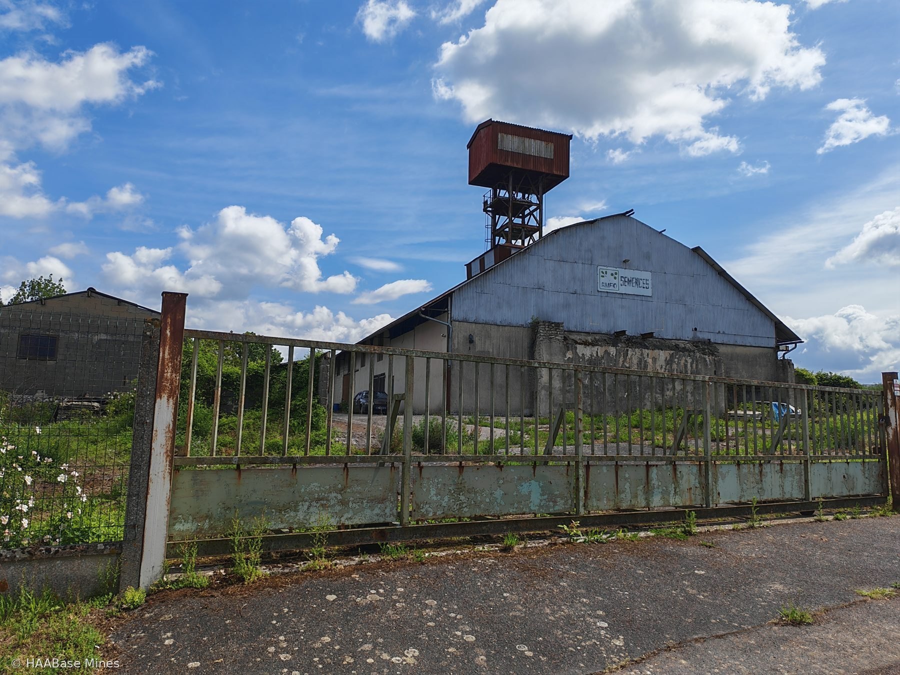
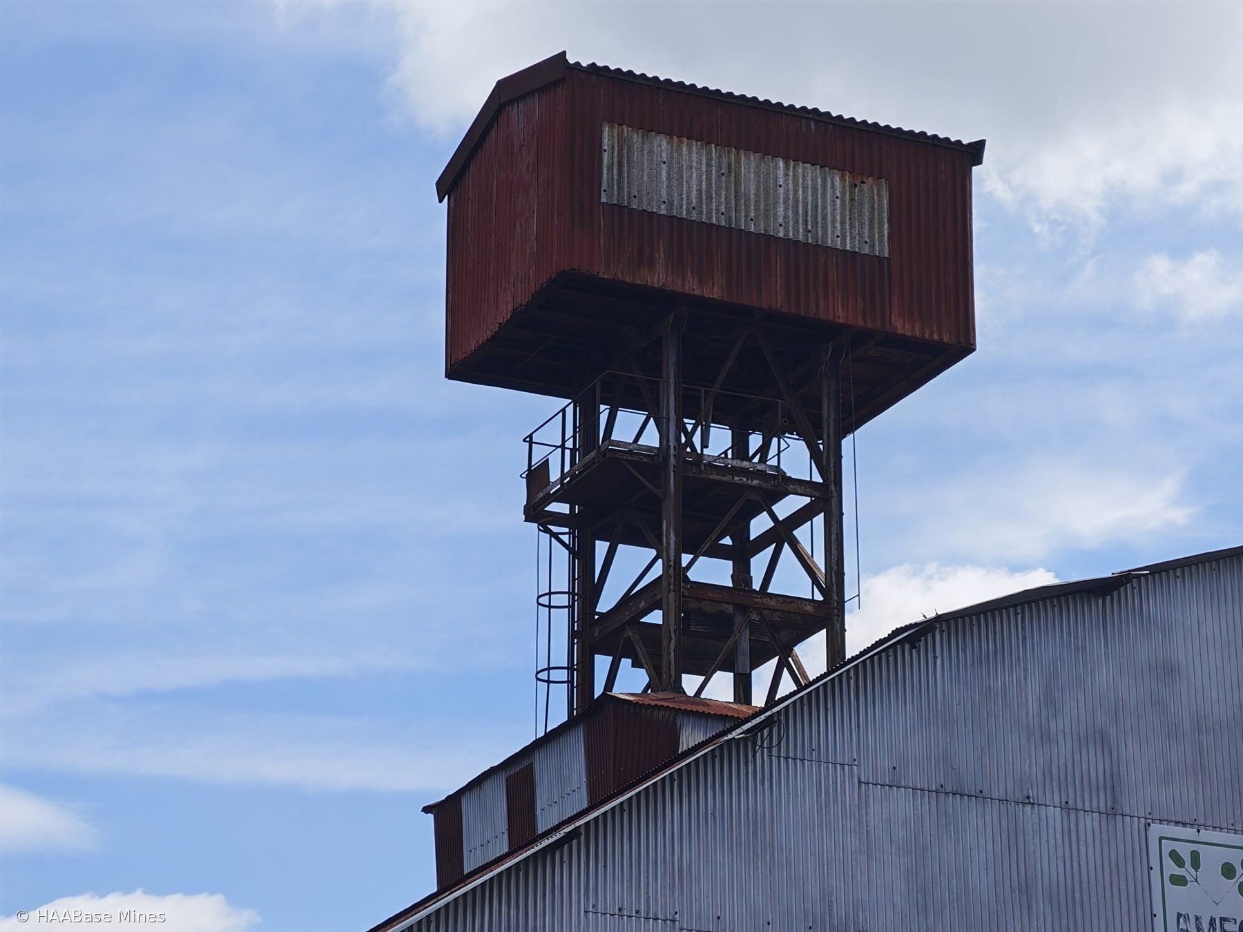
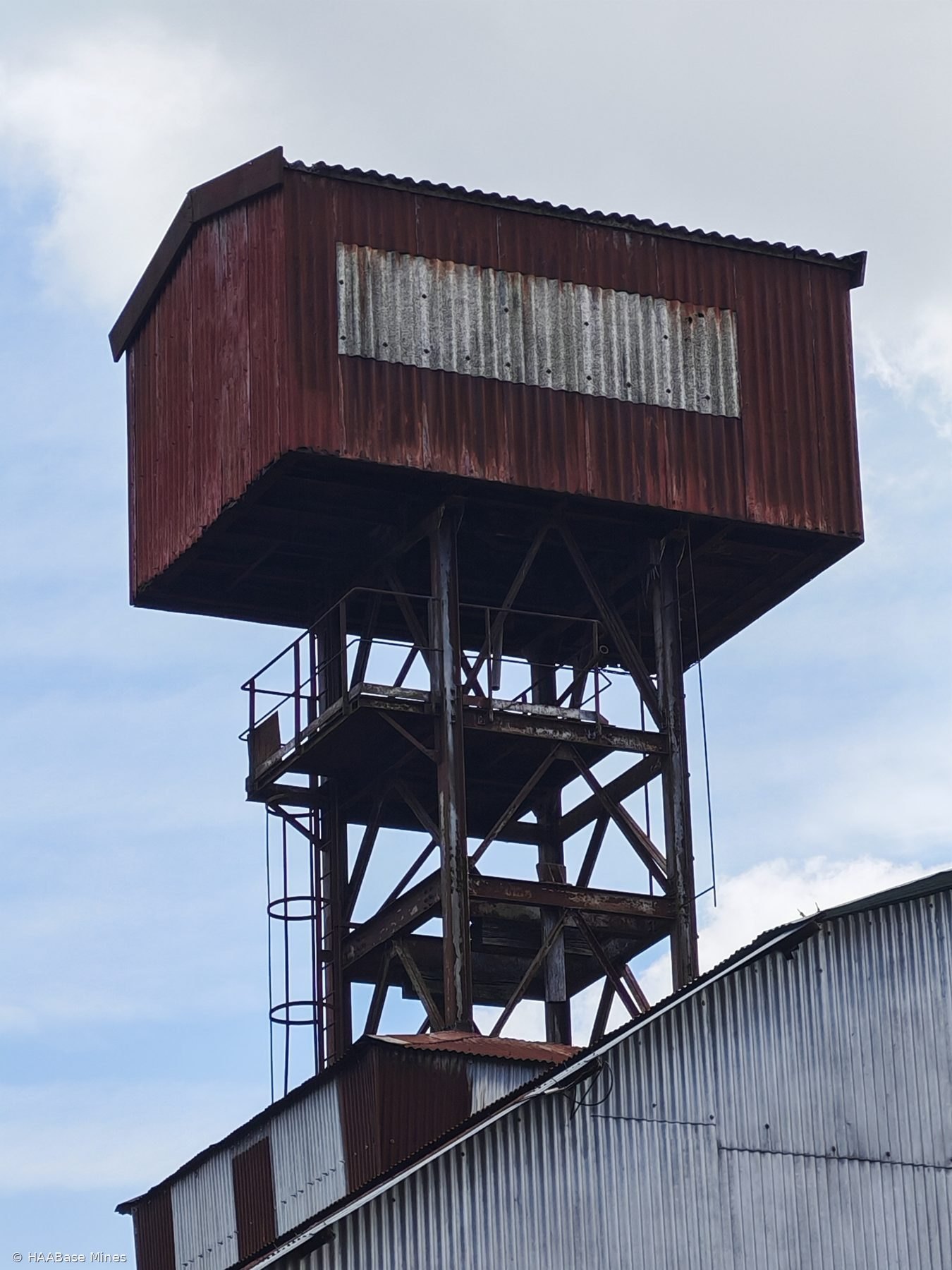
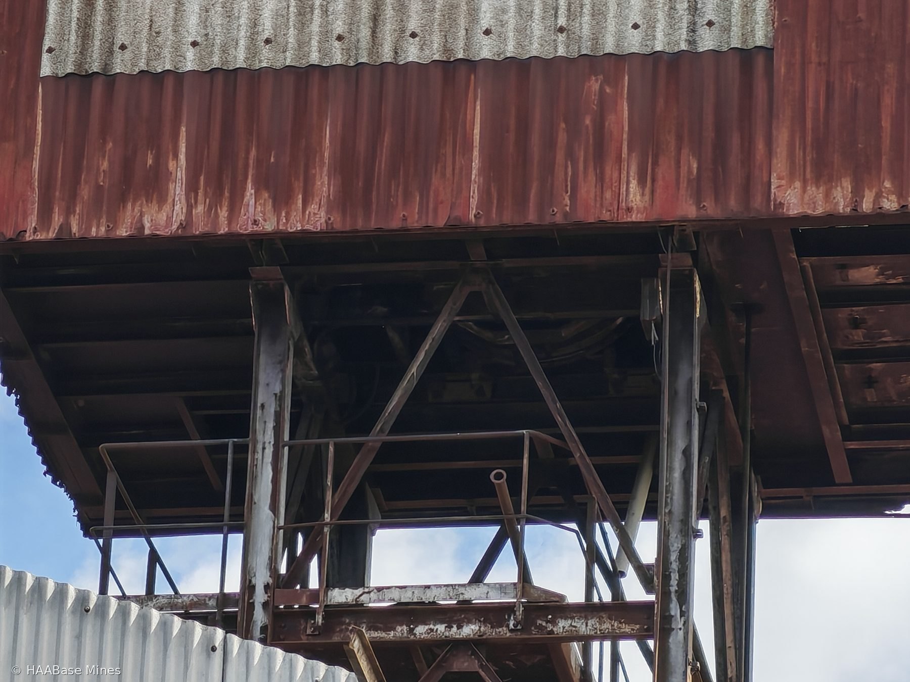
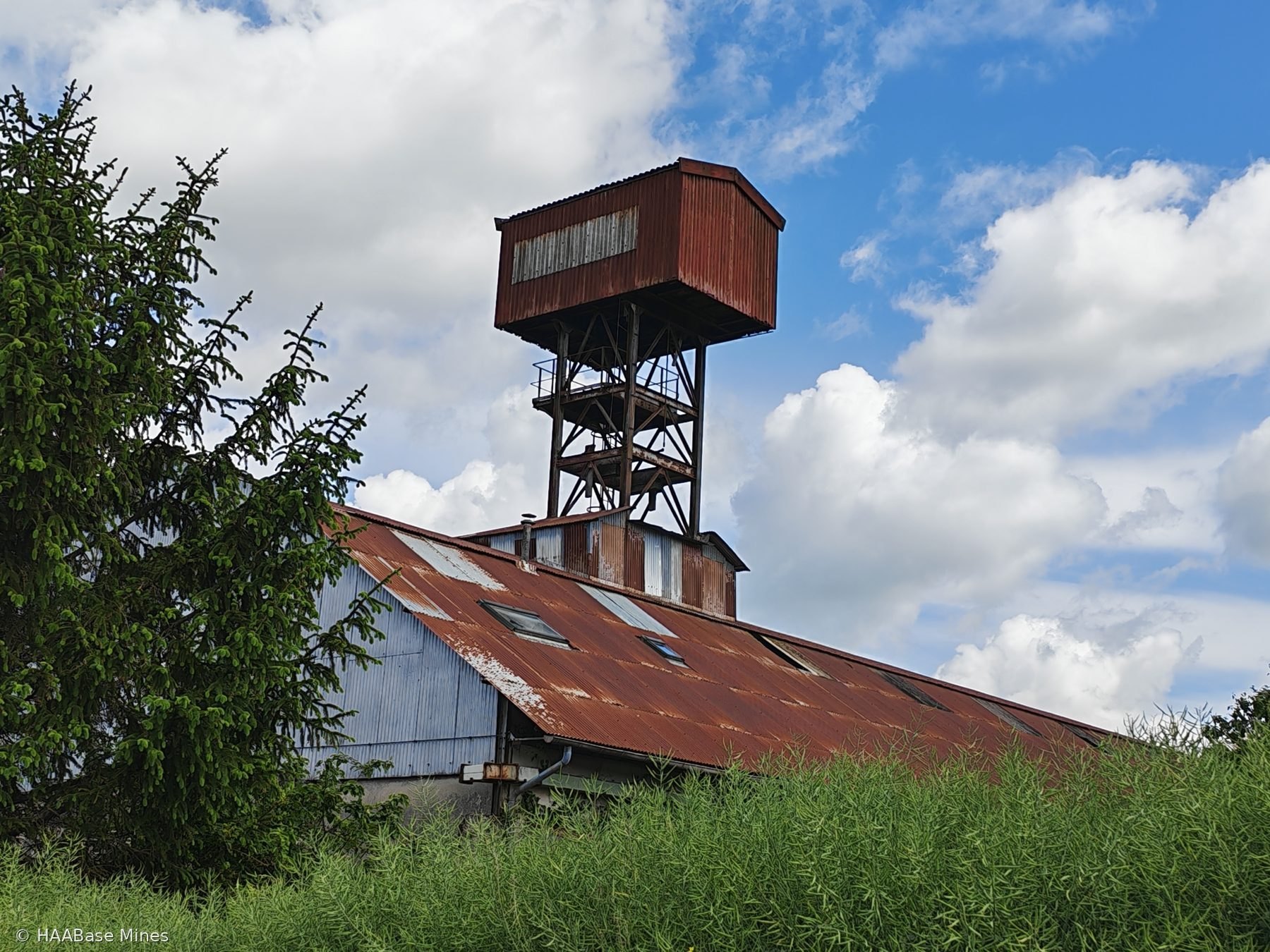
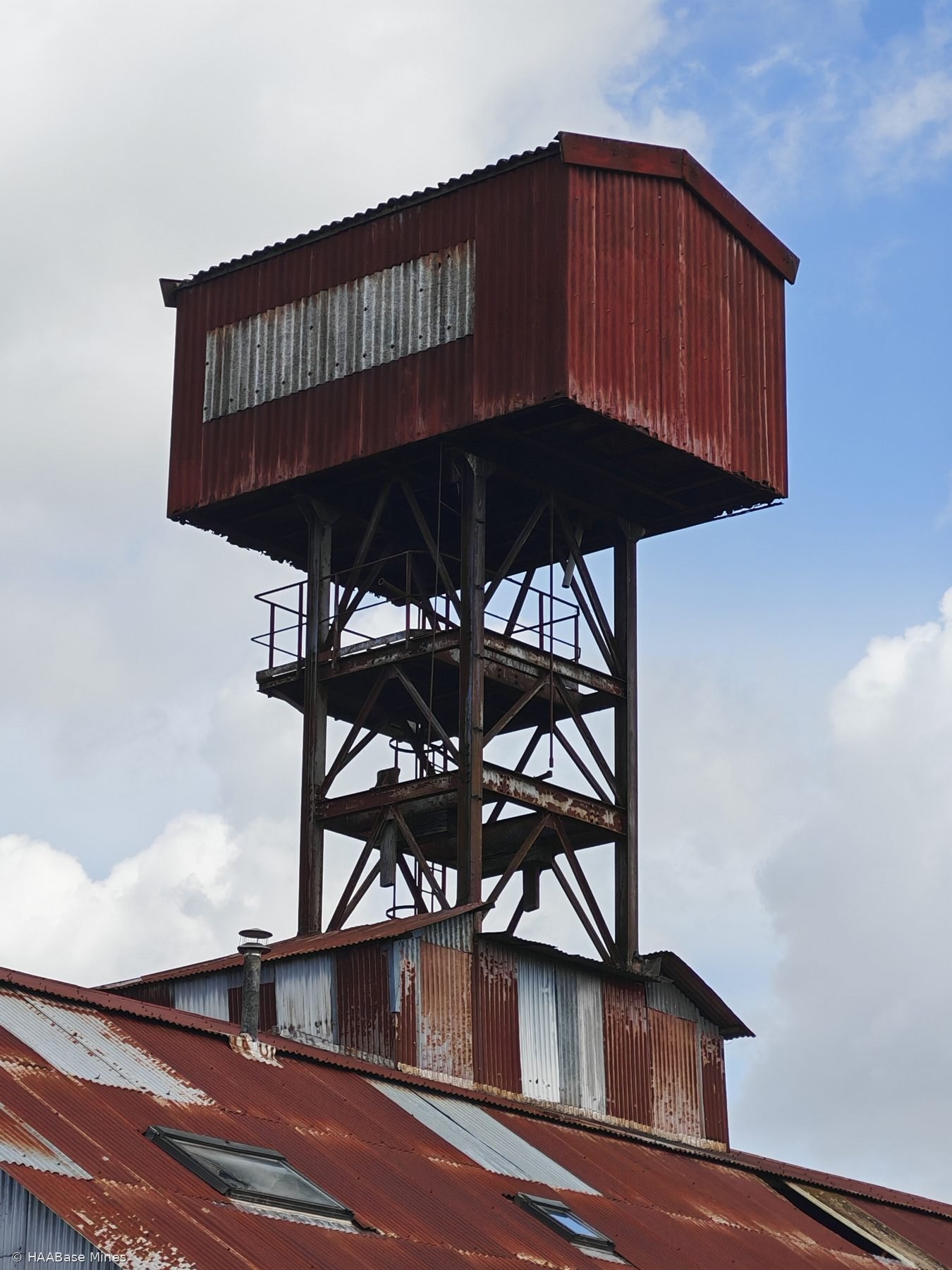
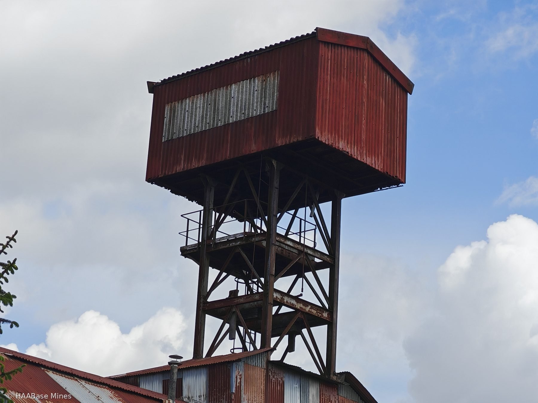
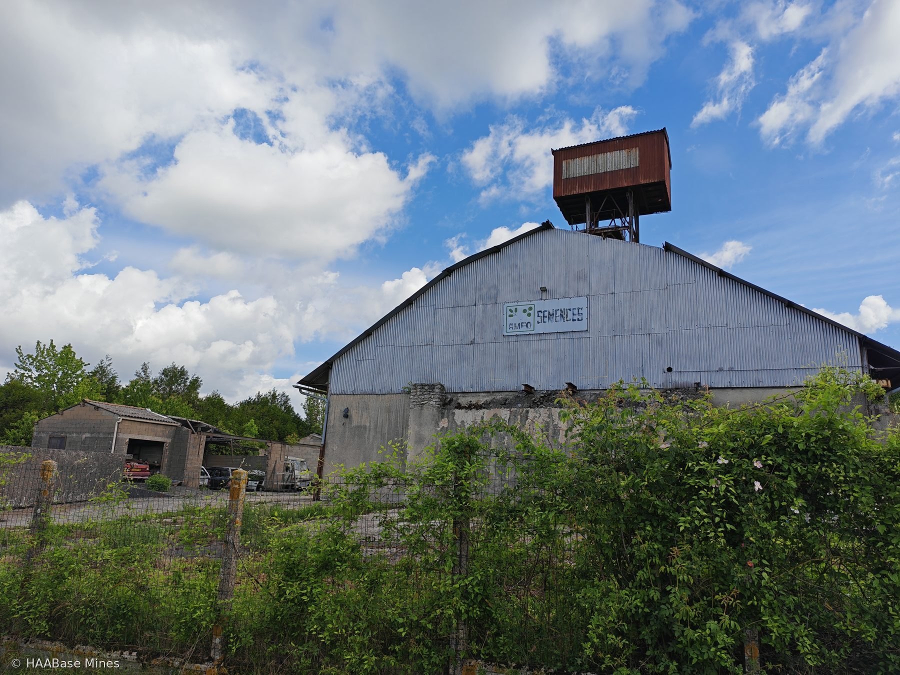
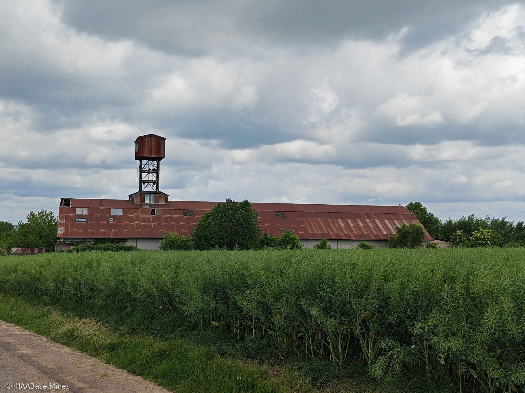
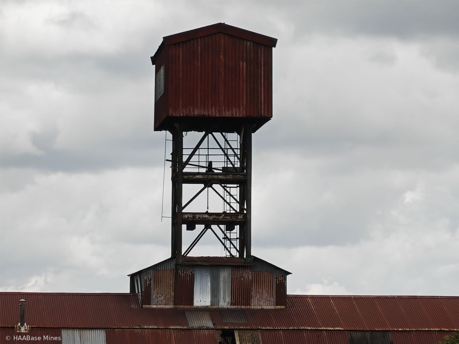
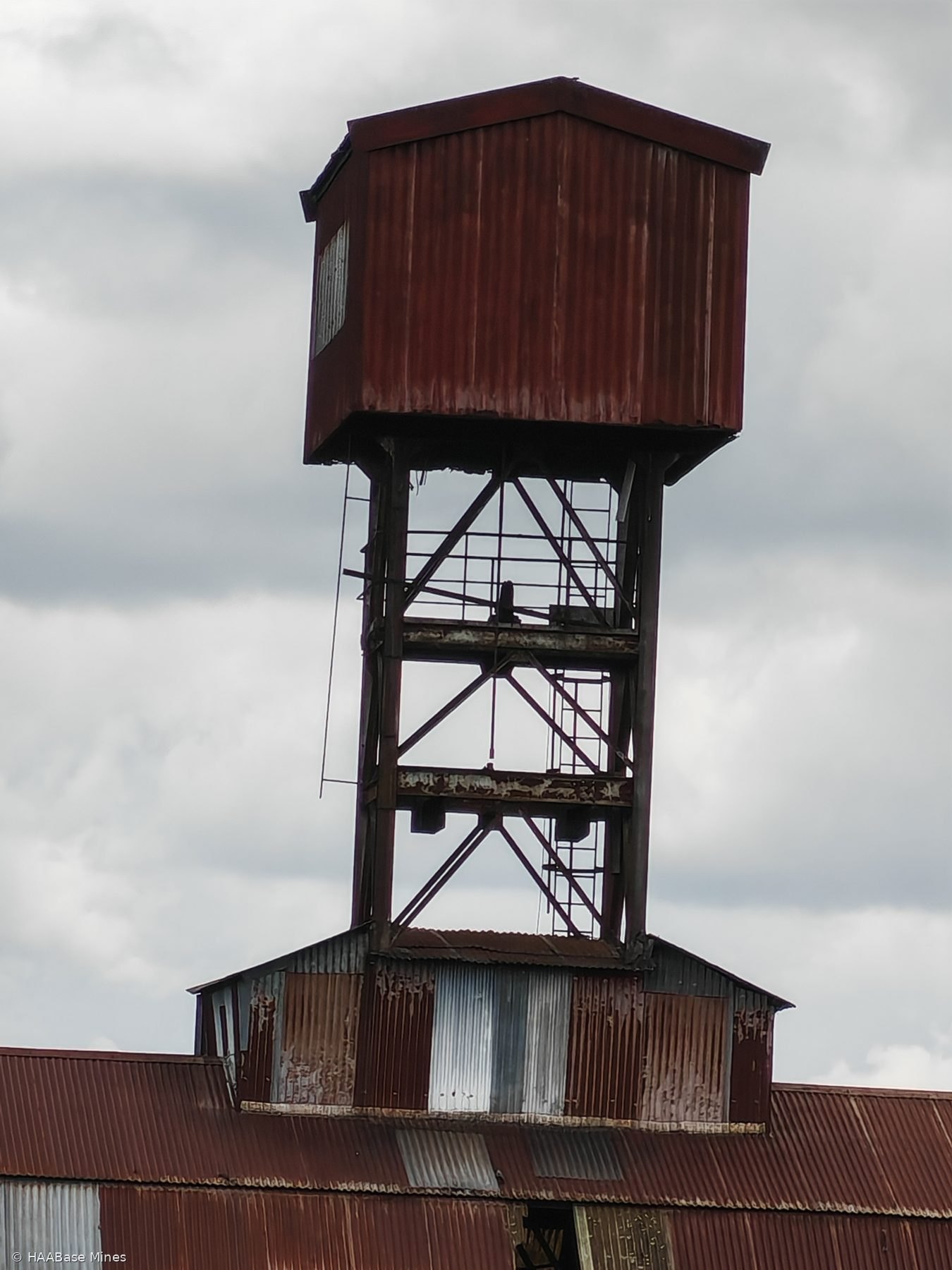
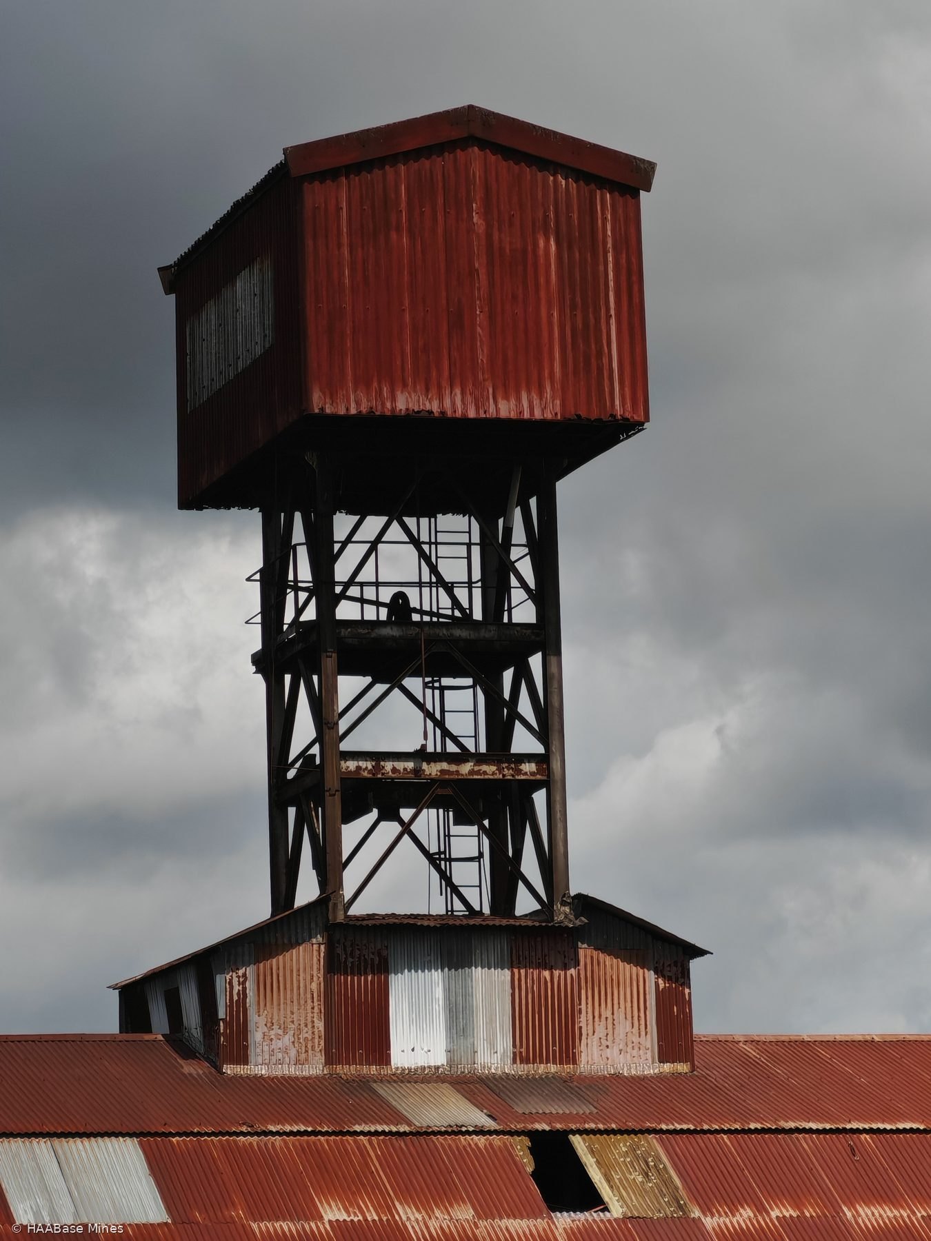
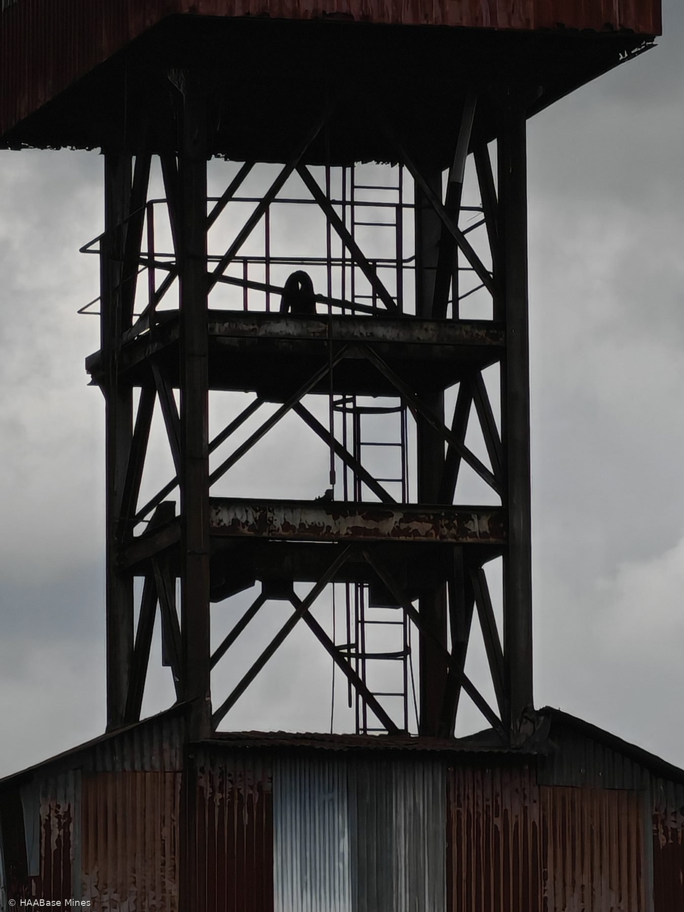
The Mine de Rouilly falls within this extractive landscape. Its precise concession boundaries, operators, shaft construction dates, production volumes, and closure details are not recoverable from the sources consulted. The current condition of the site and the survival of any surface structures are similarly not established from available records. Consultation of the BRGM Base de Données du Sous-Sol and the Archives Départementales de Seine-et-Marne would be the appropriate route to recover site-specific documentation.